Compilation of Moskitia’s historical images, photos, and pictures

View of the Port of Black River in the Territory of Poyais, 1822.
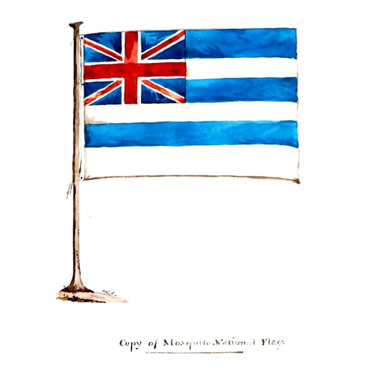
Copy of Mosquito National Flag, 1824.

Lowry Hill, Black River, 1842.

Settlement at Fort Wellington, 1842.

On the Carataska Lagoon, 1845.

Harley’s House at Cape Gracias a Dios, 1845.

Bouche’s House at Cape Gracias a Dios, 1845.

Bluefields, Mosquito Shore, 1845.
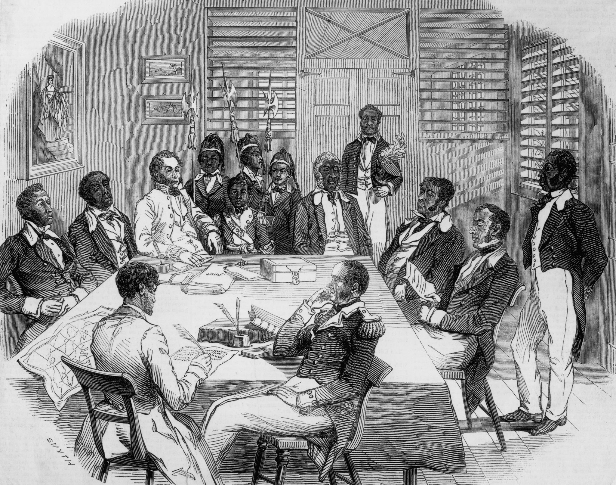
Illustration of the King of Mosquitia in Council, 1847.

Mosquito Standard, 1849.

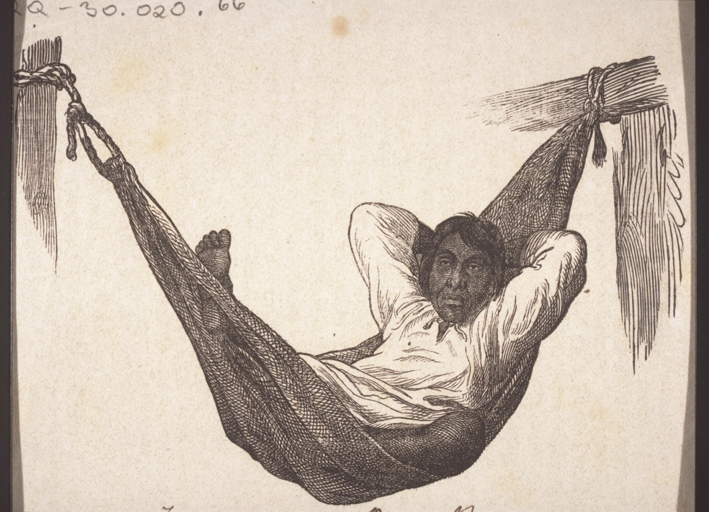
Jocko amusing himself with a cow, 1850.

Mosquito King and Captain Dunham taking an airing, 1850.

Captain Dunham landing at Corn Island, 1850.

Indians cooking an Alligator for breakfast, 1850.

Indians making motions to kill Captain Dunham, 1850.

Triangular fight between three colored men, 1850.

Panorama of Greytown, 1851.

King of the Mosquitocoast. (Bay of San-Juan, Central-America.) (1852.)

Greytown, and the Harbour of St. Juan, 1857.

The British Consulate, at Greytown, 1857.

Gorgon Villa, with a view of Grey Town, March, 1860.

Eastern end of Gorgon Bay, 1860.
Indian from Rama Kay on the Mosquito Shore, circa 1860.

An Indian's hut in Rama Kay on the Mosquito Shore, circa 1860.

Bluefields on the Mosquito Shore, circa 1860.

Bluefields on the Mosquito Shore, circa 1860.

King George Augustus Frederic, 1869.

Central America: spearing Green Turtle on the Musquito Coast, 1874.

The Mission Buildings at Blewfields, Moskito Coast, 1890.
(1893)

Last four Hereditary Chiefs of the ‘Mosquito Reservation’

The present Chief and his Council.

Celebration of the present Chief’s 21st birth-day at his residence Pearl City.

General View of Bluefields.

View of Bluefields from the Lagoon.

Part of King Street, Bluefields.

Part of King Street, Bluefields.

View of Bluefields with the River boat “Hendy”.

Part of King Street, Bluefields.

Clarence Street, Bluefields.

The Moravian Mission Buildings and warf, Bluefields.

Moravian Missionaries in the Mos. Reservation including Bishop Romig.

Bread fruit tree in Bluefields.

Banana suckers Bluefields River.

Washing at the Creek Bluefields.

Group of Sumu Indians.

Plantation “Repose” Rama River.

Plantation “Repose” Rama River; House built on Ebon tree 70 feet high.

Bluefields Bluff and Harbor.

Rama Cay with Missionary Station.

View of Karata with Missionary Station.

Dumping Ground in one of Geo. D. Emery’s Mahogany camps Wawa River.

Hawling logs in on of Geo. D. Emery’s Mahogany camps.

Labourers in one of Geo. D. Emery’s Mahogany camps.
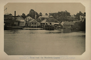
View from the Bluefields Lagoon.

Mosquito Indians. National Flag, 1899.

George Augustus Frederick, King of Mosquito, 1899.

Tangweera, 1899.

Savalo Creek, Grey Town River, 1899.

Wahkna Creek, 1899.
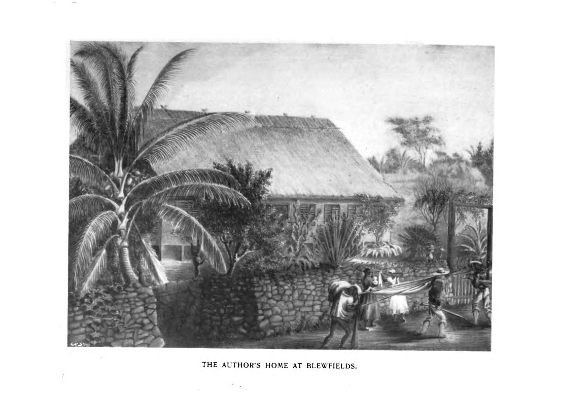
The author’s home at Blewfields, 1899.

Upper Settlement, Toongla River, 1899.
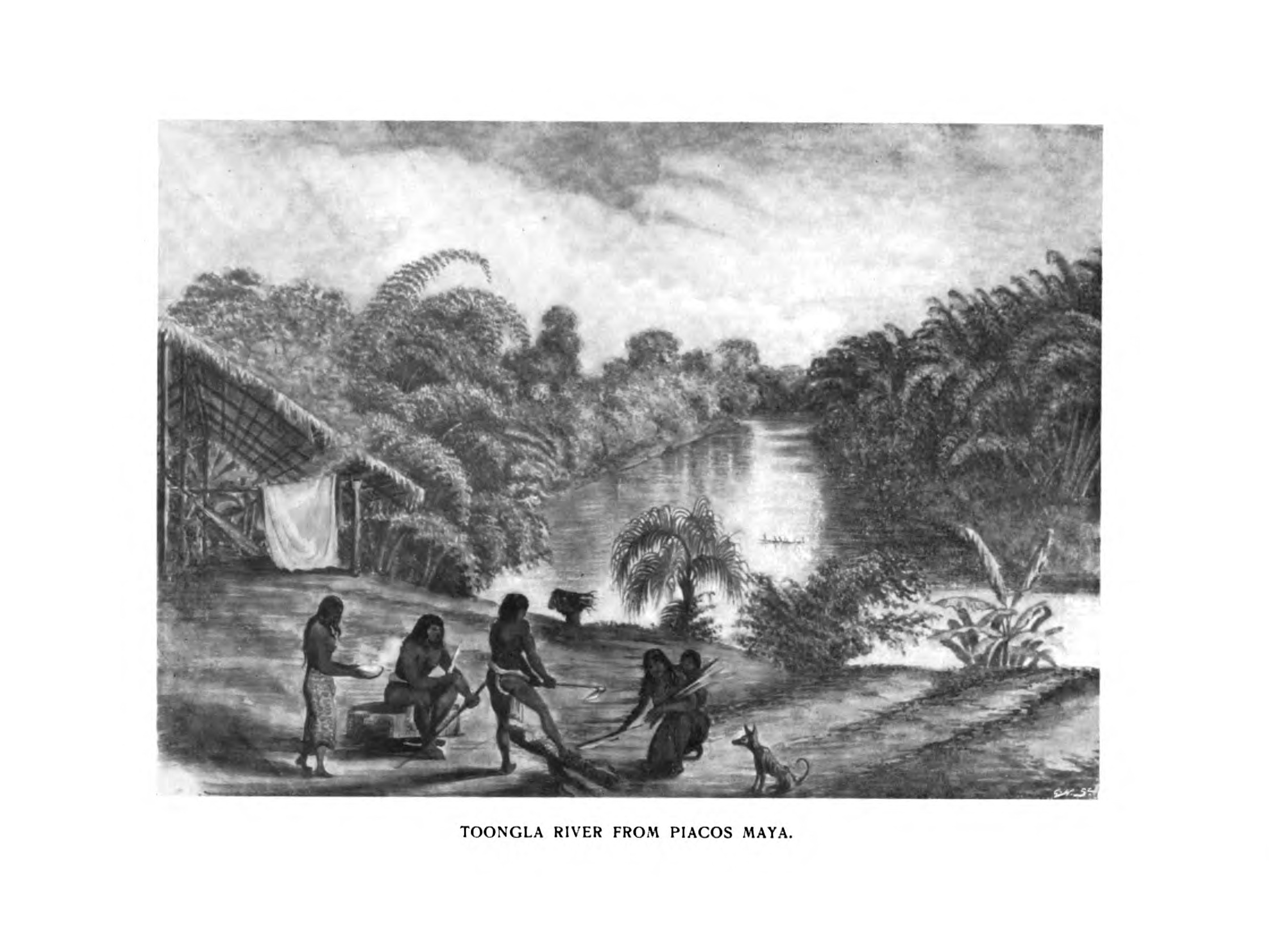
Toongla River from Piacos Maya, 1899.

Twaka Indian House at Accawassmaya, 1899.

Mosquito Indian. - Sookoo, Chief of Quamwalta, 1899.
To be continued…


Comments